Phase Maps
Every phase of the continental network, with its route map. The build runs from the Phase 0 spine outward to full continental closure — 23,200 km across six transcontinental corridors. Click any phase for the full detail page.
Phase 0 — The Spine and its spurs
Phase 0 — The Spine
The first corridor. The spine of the whole programme. Melbourne to Brisbane via Bendigo, Echuca, Shepparton, Benalla, Wangaratta, Albury, Wagga Wagga, Goulburn, Western Sydney Airport, Bathurst, Dubbo, Muswellbrook, Tamworth, Armidale, Warwick, and Toowoomba. 2,284 kilometres. Construction commencement 2027. Operational 2035.
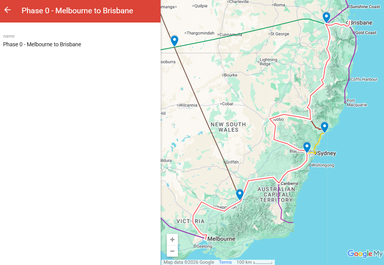
Phase 0-1 — Hunter Valley spur
A direct corridor between Newcastle and the Phase 0 spine, connecting the Hunter Valley's population centres, mining and energy industry, and agricultural producers to the national network.
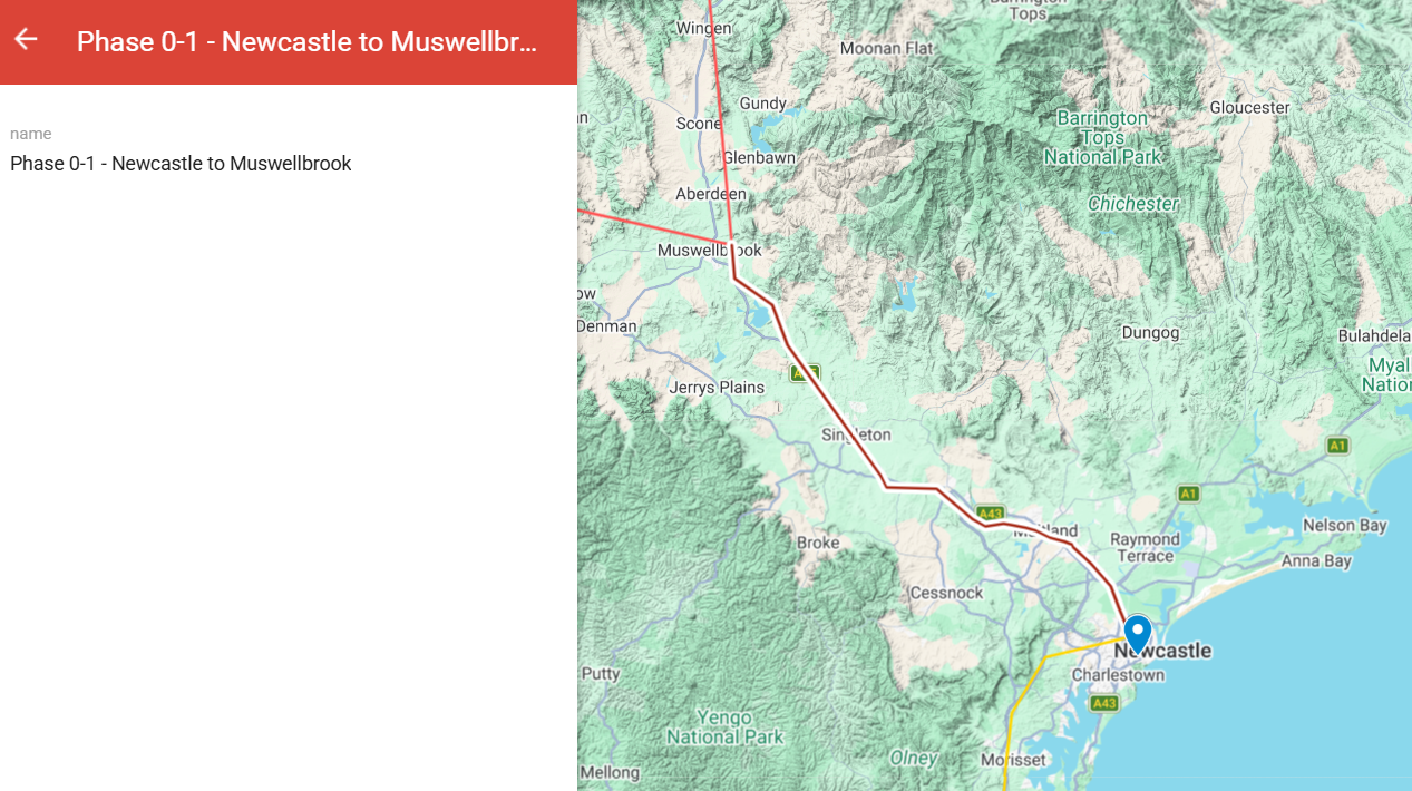
Phase 0-2 — Newcastle to Sydney Central
A passenger-priority corridor from Newcastle CBD to Sydney Central — the 15-minute maglev journey at 600 km/h. About 142 kilometres through the Watagans, Hornsby, and Parramatta into the heart of Sydney.

Phase 0-3 — WSA to Sydney Central
Extending the Phase 0 spine 50 km from Western Sydney Airport directly into Sydney Central. The new international airport — currently disconnected from the rest of Sydney by anything except road — finally gets a real continental rail connection.
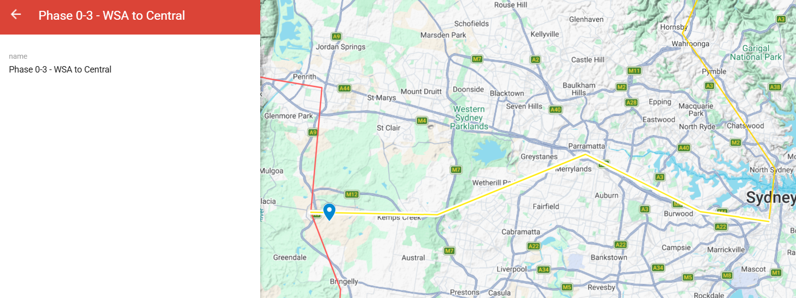
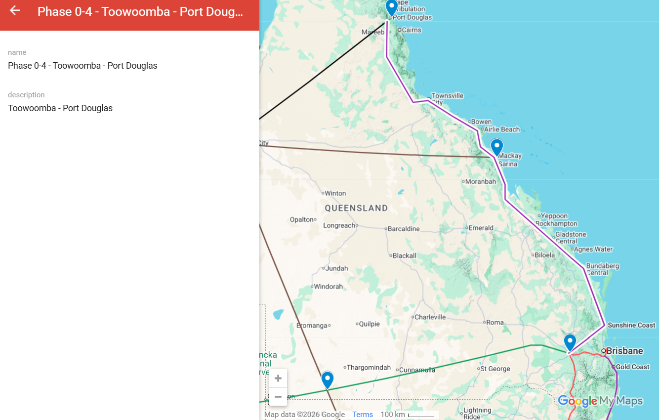
Phase 0-4 — Toowoomba to Port Douglas
A northern Queensland spur from Toowoomba (on the Phase 0 spine) up the coast to Port Douglas, opening Far North Queensland to the continental network for the first time.
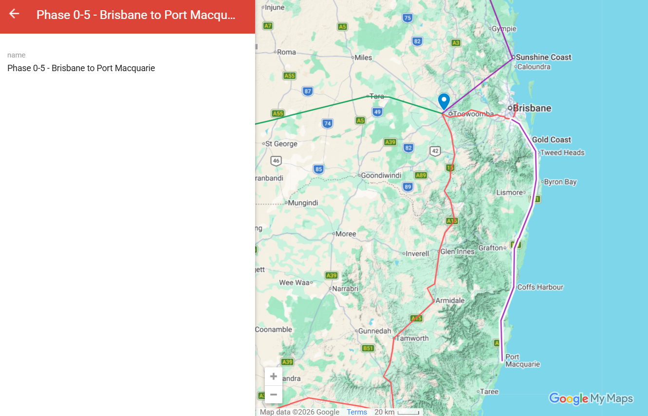
Phase 0-5 — Brisbane to Port Macquarie
A coastal NSW corridor connecting Brisbane to Port Macquarie via the mid-north coast. Removes B-double freight traffic from the Pacific Highway through Coffs Harbour, Grafton, and Lismore.
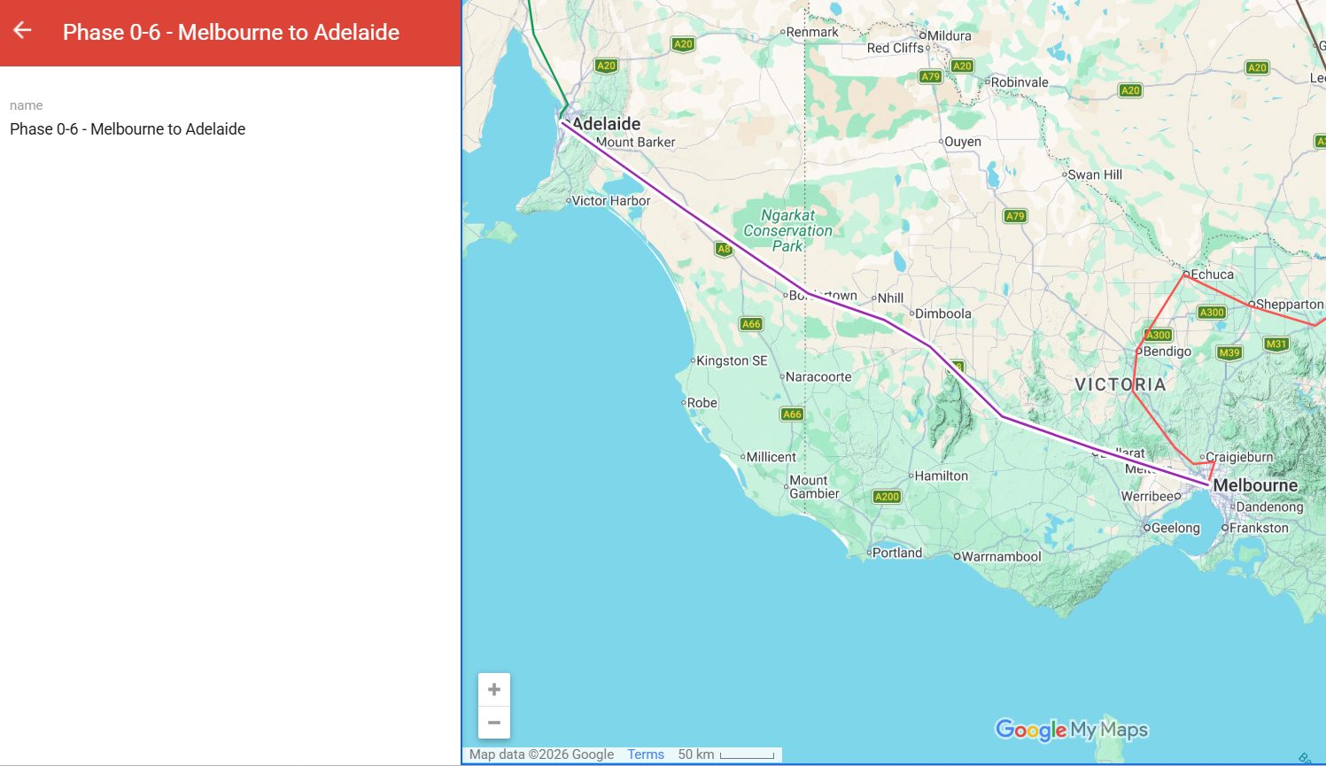
Phase 0-6 — Melbourne to Adelaide
A direct corridor between Melbourne and Adelaide, connecting the south-eastern population centres to the network for the first time.
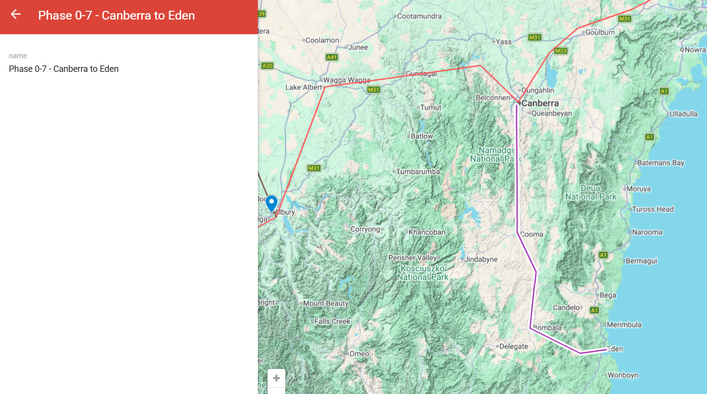
Phase 0-7 — Canberra to Eden
A freight-priority spur connecting Canberra to Eden, Australia's only natural deepwater port between Sydney and Melbourne. Strategic Pacific export gateway.
Phase 1 — First Continental
Phase 1 — First Continental
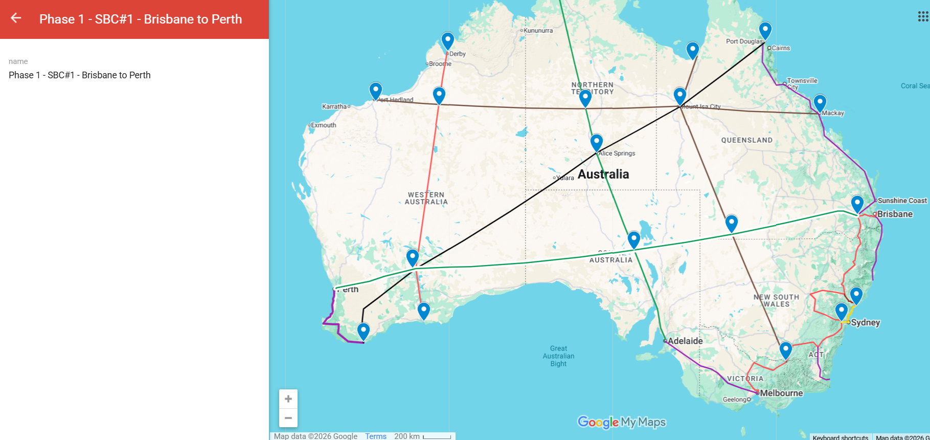
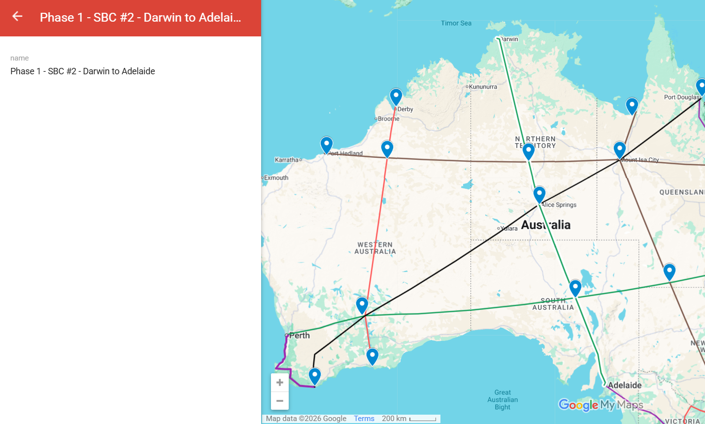
The first continental phase. Two corridors that turn Australia from a coastal-population nation into a continental nation: Brisbane to Perth (~4,000 km) and Darwin to Adelaide via Alice Springs (~2,400 km). Includes the Alice Hub continental pumped hydro and water transfer system.
Phase 1-1 — Perth to Albany
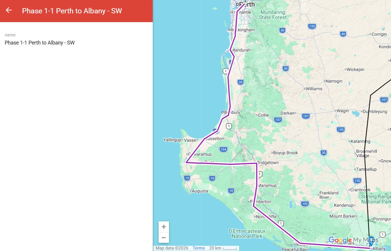
A southwest Western Australia spur off the Phase 1 Brisbane–Perth corridor. Perth to Albany — connecting Western Australia's only natural deepwater south-coast port to the continental network.
Phase 2 — Northern corridors
Phase 2 — Northern corridors
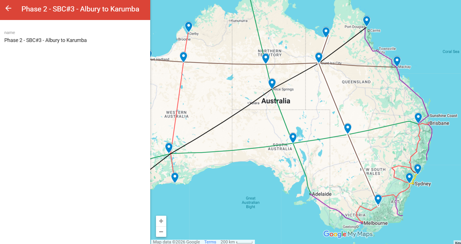
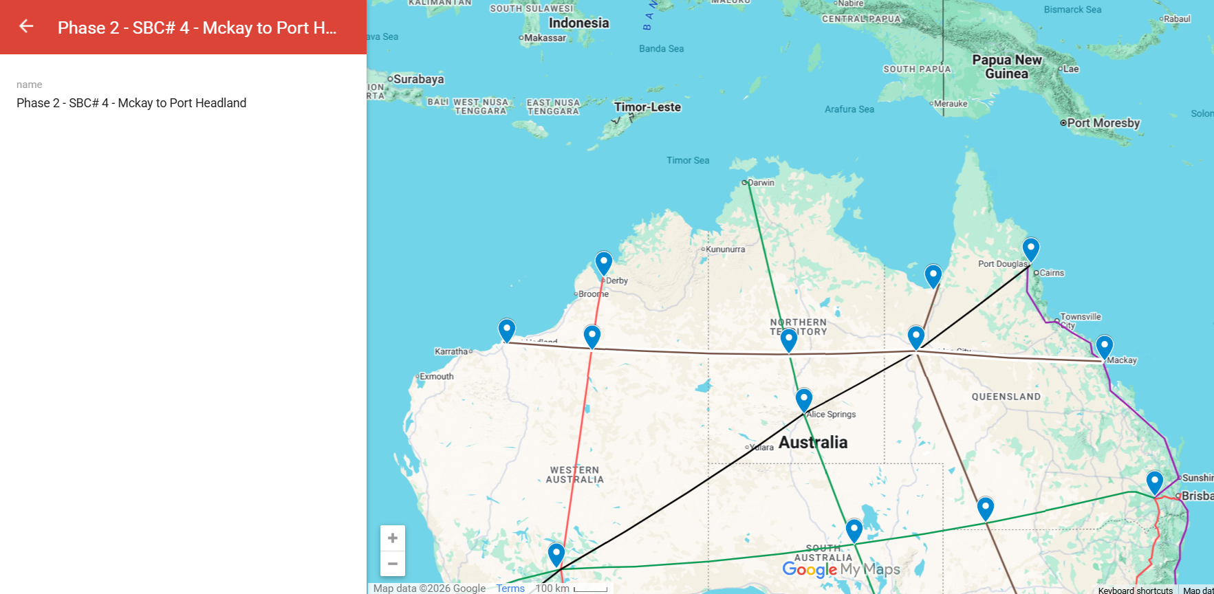
The northern continental corridors. Albury to Karumba in far north Queensland, and Mackay to Port Hedland across the central north. Northern Australia development. The Pilbara connected to the eastern seaboard.
Phase 3 — Network closure
Phase 3 — Network closure
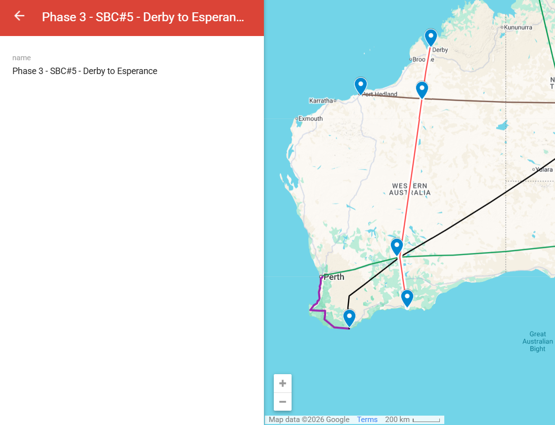
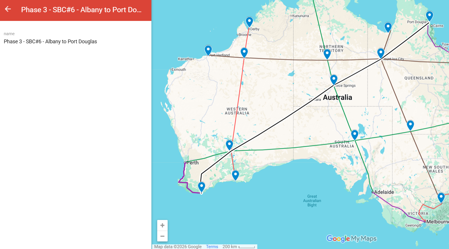
The final phases that close the continental network. Derby to Esperance as a Western Australia north-south corridor, and Albany to Port Douglas as a long-arc corridor closing the network from south-west to far north-east.
The subsea corridors — the network beyond the coastline
The continental corridors end at the coast; the network does not. Seven multi-service subsea corridors of about 32,500 km combined carry the same integrated stack offshore — electricity and fibre confirmed on every route, with gas, hydrogen or water added where the destination nation requires them. One corridor, one install, multiple services, laid as a single vessel operation per route. The full engineering and staging case is in The Asia-Pacific Subsea Corridor Network, with the industrial base behind it in The Subsea Industrial Base.
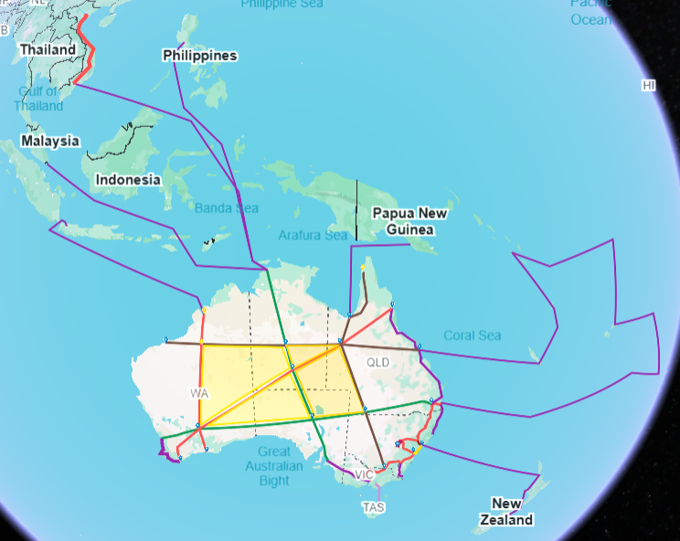
All seven export corridors on one map. Individual route maps follow.
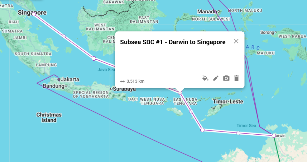
Subsea 1 — Darwin to Singapore
~3,500 km. Electricity and fibre confirmed; gas, hydrogen or water added where the destination requires them. The Sun Cable / Australia-Asia Power Link route, approved by the Australian Commonwealth in August 2024 and by Singapore's Energy Market Authority in October 2024. Singapore is the gateway market for the entire Strait of Malacca economy.
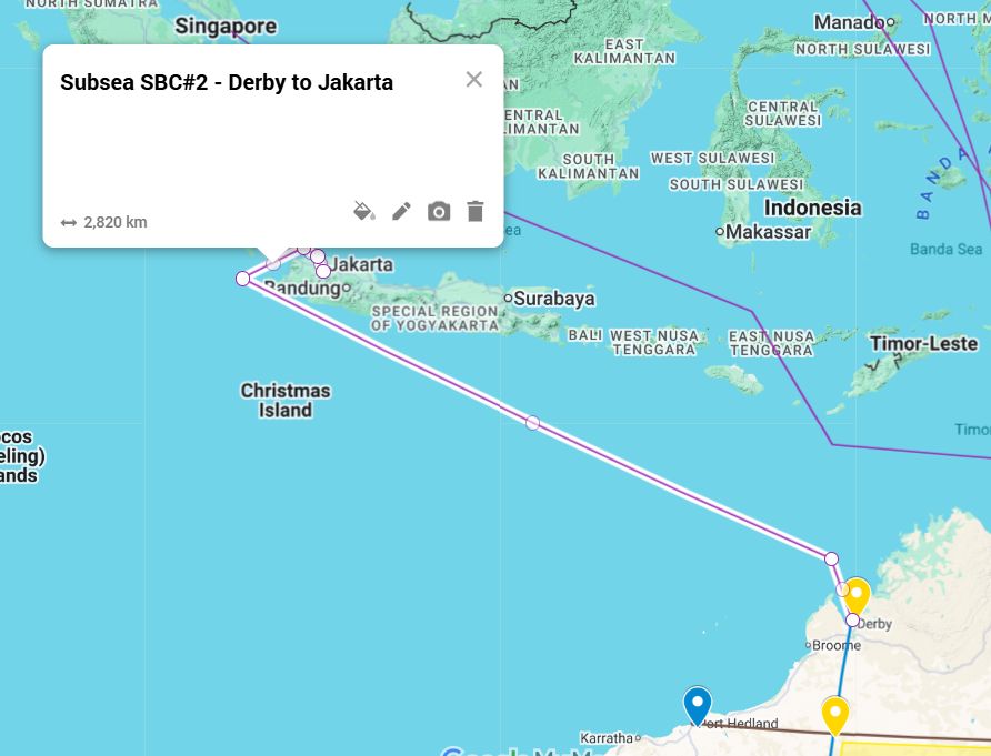
Subsea 2 — Derby to Jakarta
~3,000 km. Connects the Kimberley to Java, the most populous island on earth and the demand centre of the Indonesian grid.
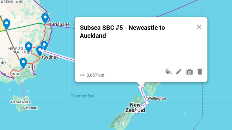
Subsea 3 — Newcastle to New Zealand
~3,000 km. The trans-Tasman connection, independently proposed in March 2025 by the Taslink project.
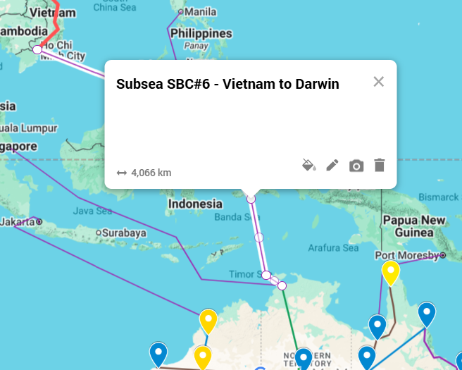
Subsea 4 — Vietnam to Darwin
~4,000 km. Vietnam is the fastest-growing electricity market in ASEAN, with about 100 million people.
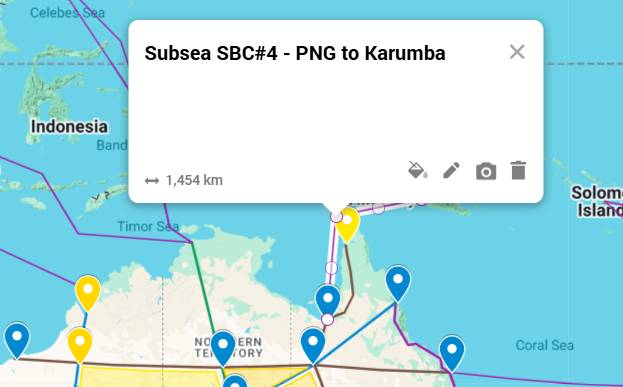
Subsea 5 — Papua New Guinea to Karumba
~1,500 km. The shortest route in the network and the only one carrying gas as a confirmed first-deployment service, integrating PNG's Hela and Gulf province reserves into the Australian gas market. See Australia’s Gas Problem.
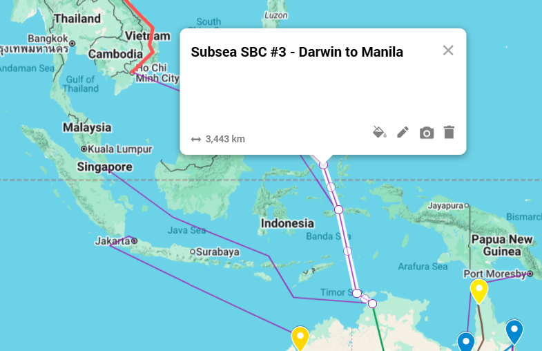
Subsea 6 — Darwin to Manila
~3,500 km. The Philippines is about 115 million people on an archipelagic grid.
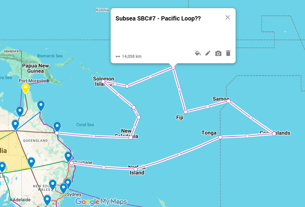
Subsea 7 — The Pacific Loop
~14,000 km. From northeast Australia through the Pacific island chain — the longest route in the network and the one that carries the regional partnership furthest.